
NJC Surveys are land surveyors in Leicestershire, established in 2006 by Neil Clarke in Ashby de la Zouch. Over 20 years, we have grown into a trusted partner for architects, councils, property developers, and construction companies across the UK.
Every survey is completed by fully qualified surveyors with extensive field experience, from small garden plots and listed structures to projects for major construction companies. Our vision is to lead through innovation and accuracy.
WHAT WE DO
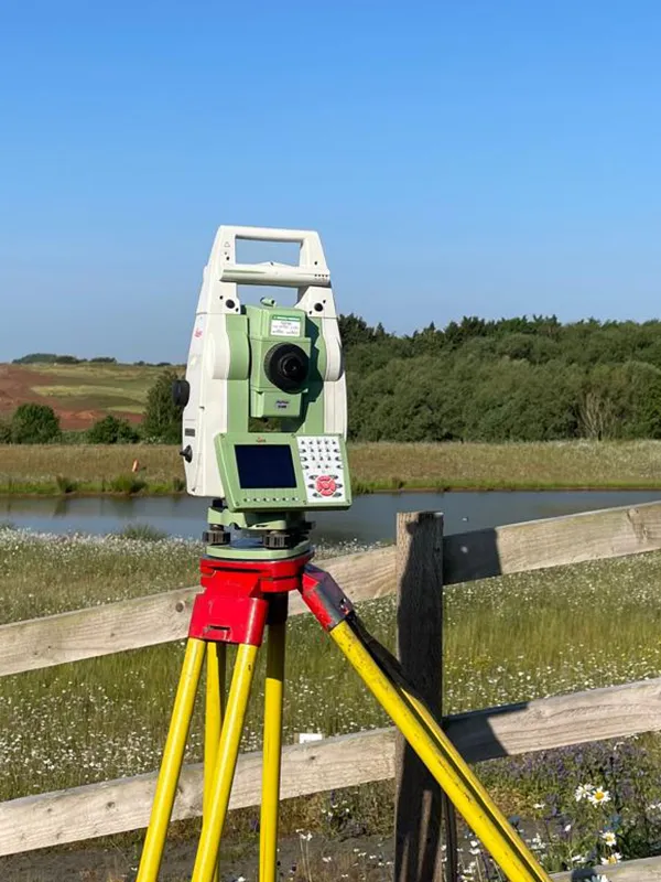
NJC Surveys provides accurate topographical surveys (also known as land surveys or site surveys) across the UK, from small residential plots and house extensions to large commercial and development sites. Our surveys map every key feature of your land, including boundaries, buildings, trees, levels, contours, drainage, manholes and services, giving architects, engineers and developers a reliable base plan for design and planning applications. Our experienced surveyors use the latest GPS and total station equipment to deliver precise data in CAD (DWG) and PDF formats, with fast turnaround times and clear, fixed-price quotes. We also offer 3D laser scanning and Revit / BIM models for complex sites and buildings. Whether you're a homeowner planning a self-build or a developer preparing a major scheme, we help you make confident decisions from day one.
NJC Surveys provides accurate measured building surveys across the UK, using the latest 3D laser scanning technology to capture existing buildings in precise detail. We produce floor plans, elevations, sections and roof plans, as well as 3D point cloud data and Revit / BIM models for architects, engineers, designers and contractors. Whether you're planning a renovation, refurbishment, loft conversion, extension or change of use, our surveys give you reliable "as built" drawings to work from. We survey homes, listed buildings, offices, shops and commercial properties, capturing room sizes, wall thicknesses, ceiling heights, door and window positions, and structural features. Drawings are supplied in CAD (DWG), PDF and Revit formats, ready for planning applications, building regulations and lease plans.
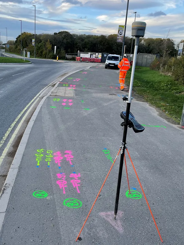
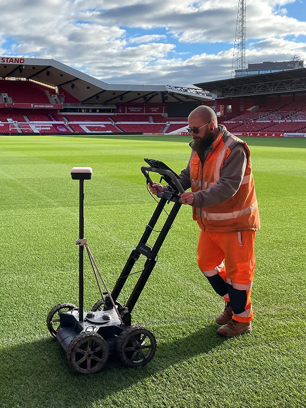
NJC Surveys provides accurate PAS128 utility surveys across the UK, locating and mapping underground services before you dig, design or build. Using Ground Penetrating Radar (GPR) and electromagnetic location equipment (CAT and Genny), we trace gas, water, electricity, telecoms, fibre optic cables, drainage and sewer pipes, giving you a clear picture of what lies beneath your site. Every survey is carried out to PAS 128 standards, helping you avoid utility strikes, costly delays and redesigns, and stay compliant with health and safety requirements. Our underground service drawings are supplied in CAD (DWG) and PDF formats and can be combined with our topographical surveys for a complete site picture. Ideal for architects, engineers, contractors, developers and homeowners.
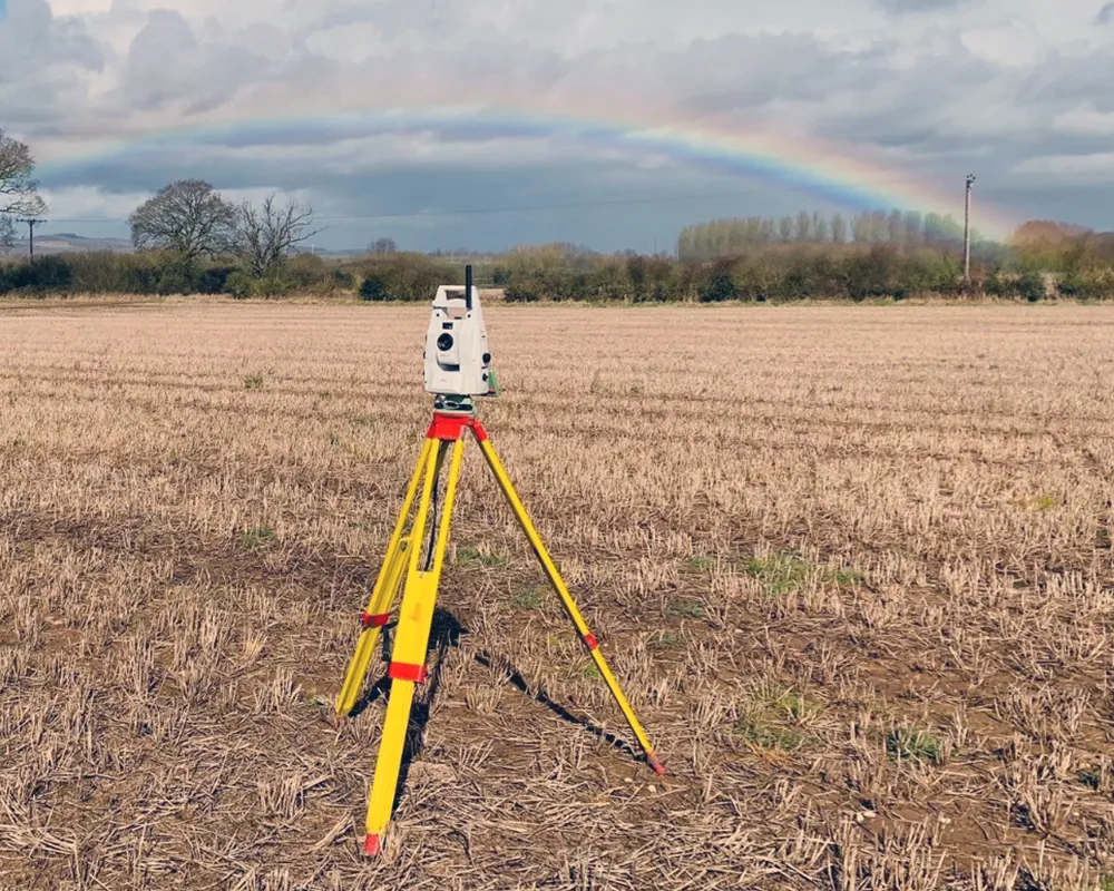
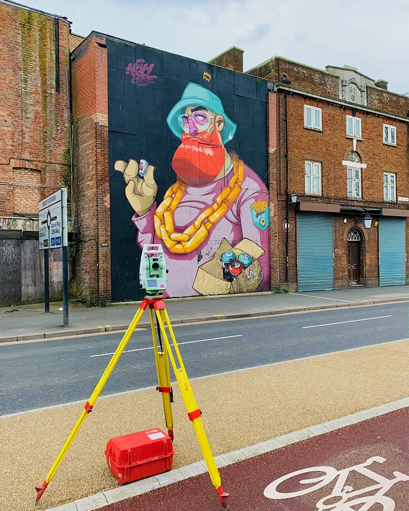
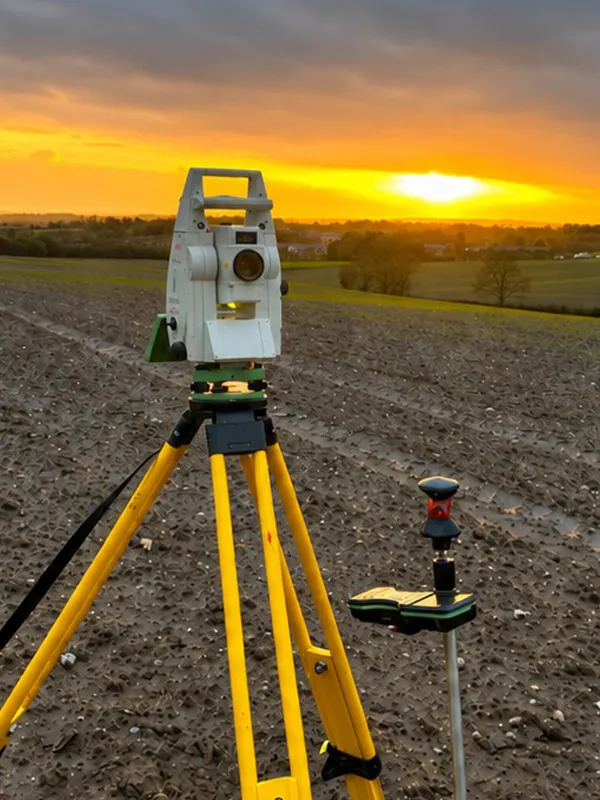
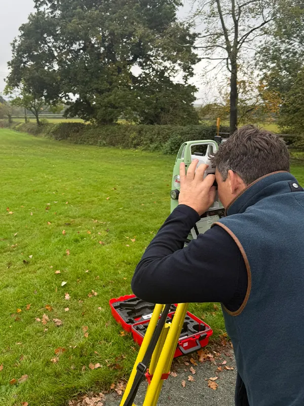
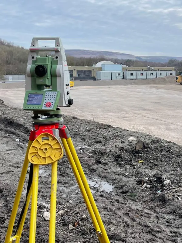
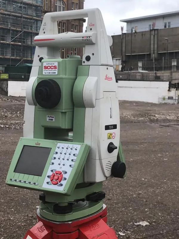
NJC Surveys have a team of setting out engineers and provides accurate setting out and dimensional control services across the UK, ensuring your building is constructed in exactly the right position, at the right level, and in line with the approved design drawings. At the start of each project, we establish precise control points, gridlines and site benchmarks, then set out foundations, building corners, piling positions, roads, drainage and boundaries. Using robotic total stations and GPS equipment, our engineers help contractors and builders avoid costly mistakes, rework and delays. We also provide as-built checks and level monitoring throughout construction to confirm everything is built to tolerance. From self-build homes and house extensions to housing developments and large commercial buildings, NJC Surveys has supported projects of every size.
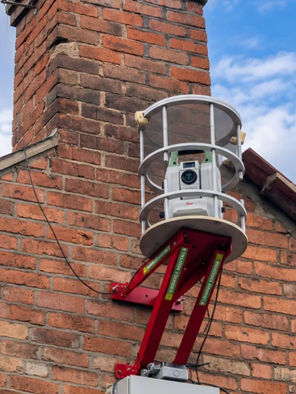
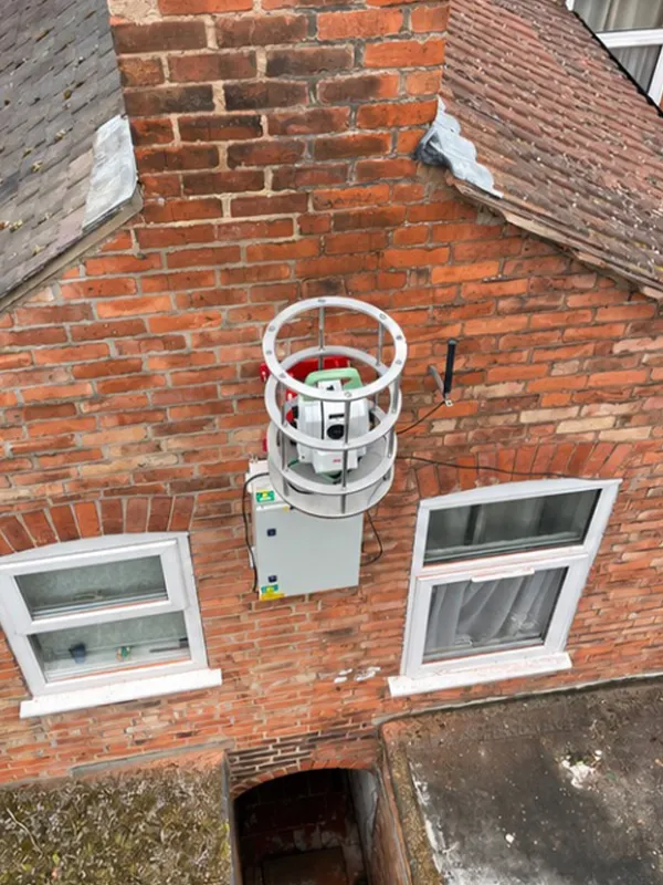
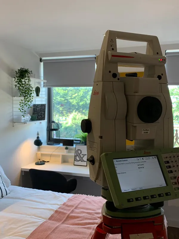
NJC Surveys provides accurate structural and construction monitoring across the UK, tracking movement in buildings, structures and the ground around your site. Using high-precision total stations, levelling equipment and wireless monitoring sensors, we measure settlement, heave, tilt and deformation during excavations, demolition, basement construction, piling and other high-risk works. Our automated monitoring systems and desktop platforms provide real-time readings and instant alerts when trigger levels are reached, so problems can be spotted, analyses and dealt with before they become serious. We monitor neighbouring buildings, party walls, retaining walls, bridges, railways and crack movement, giving contractors, engineers and clients clear reports and peace of mind throughout the project.
NJC Surveys provides accurate volumetric surveys and 3D ground modelling across the UK, helping clients understand exactly how much material is on their site and what needs to be moved, removed or brought in. We create detailed 3D terrain models and digital ground models (DTMs) that clearly show contours, slopes, levels and changes in elevation, giving architects, engineers and contractors a clear picture of the land before work begins. By comparing existing ground levels with proposed designs, we calculate cut and fill volumes, earthworks, excavation quantities and spoil removal, helping you plan muck away, balance materials on site and avoid costly over-ordering. We also produce machine control models for GPS-guided excavators and dozers, compatible with Trimble, Leica and Topcon machine control systems, allowing groundworks contractors to dig and grade to the exact design levels with less setting out and less rework. In addition, we carry out drone stockpile surveys, quickly and safely measuring stockpile volumes for quarries, aggregates, landfill and recycling sites, supporting accurate project planning, cost estimates and stock control.
NJC Surveys provides accurate mobile mapping surveys across the UK, using vehicle-mounted laser scanners (LiDAR) and 360° cameras to capture survey-grade data while driving at normal road speeds. Since starting our first mobile mapping project in 2018, we have helped clients survey long stretches of roads, highways, streets and town centres quickly and safely, without the need for road closures, traffic management or surveyors working on live carriageways. The result is a highly detailed 3D point cloud and imagery that captures kerbs, road markings, signs, street furniture, drainage covers, bridges and building frontages. From this data, we produce topographical drawings, road condition surveys and asset registers.
NJC Surveys provides accurate drone surveys across the UK, using UAVs fitted with high-resolution cameras and LiDAR sensors to capture detailed aerial data quickly and safely. Drones can cover large sites in a fraction of the time of traditional methods, making them ideal for topographical surveys, stockpile volumes, roof inspections, site inspections and construction progress monitoring. From each flight, we produce orthomosaic maps, 3D point clouds, digital surface models and aerial photography, giving architects, engineers, contractors and developers a clear view of their site from above. Using our Propeller platform, clients can view their site online in 3D, measure volumes, check levels and track progress from any device, with no specialist software needed. We also offer monthly drone site inspections for developers, providing regular progress updates, earthworks tracking and a clear visual record of the build from start to finish. Drone surveys are especially useful for hard-to-reach areas, steep or uneven ground, rooftops, and sites where access is restricted or unsafe. All flights are carried out by fully qualified, CAA-registered drone pilots.
NJC Surveys provides accurate hydrographic and bathymetric surveys across the UK, mapping the depth and shape of the ground beneath rivers, lakes, ponds, reservoirs, canals, harbours, marinas and coastal waters. Using single beam and multibeam echo sounders, GPS and remote-controlled survey boats, we capture underwater levels, riverbeds, banks, submerged structures and silt build-up quickly and safely. Our data has supported dredging projects, silt and sediment surveys, flood risk assessments, river modelling, bridge inspections and the design of outfalls and flood defences. We also produce river cross-sections and combine underwater data with our topographical and drone surveys to create a complete picture above and below the waterline. Ideal for engineers, contractors, local councils, water companies, landowners and environmental consultants.
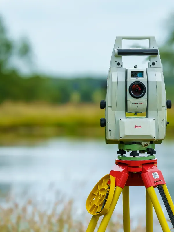
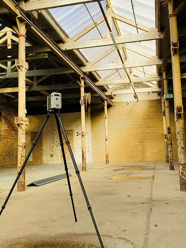
NJC Surveys provides accurate 3D laser scanning surveys across the UK, using the latest Leica terrestrial and mobile LiDAR scanners to capture millions of precise measurements in minutes. The result is a highly detailed 3D point cloud of your building, site or structure, recording every surface, wall, beam, pipe, tree and feature to millimetre accuracy. From this data, we produce scan to BIM Revit models, floor plans, elevations, sections, digital terrain models and 3D meshes for architects, engineers, designers and contractors. Laser scanning is ideal for complex buildings, listed and heritage properties, factories, plant rooms, bridges, tunnels and facades, as well as checking building condition, clash detection and monitoring changes over time. Because scanning is fast and non-contact, it reduces time on site, avoids repeat visits and keeps disruption to a minimum. We also provide virtual site walkthroughs, allowing your team to explore the building in 360°, take measurements and share views online from any device, without needing to visit site. Data is supplied in point cloud (E57, RCP), CAD (DWG), PDF and Revit / BIM formats.
NJC Surveys Ltd prepares plans for HM Land Registry applications across the UK. We work with solicitors, property owners, landlords and developers on residential, commercial and rural property transactions.
We prepare lease plans, transfer of part plans and plans showing easements and rights of way. Whether you’re granting a lease on a flat or commercial unit, selling part of a garden or documenting a shared access, we produce a clear, scaled drawing showing the extent specified by you and your solicitor. Where relevant, we identify individual floors, parking spaces, gardens, storage areas and access routes separately so the plan can be read alongside the deed.
We prepare plans in accordance with HM Land Registry’s Practice Guide. Our plans include a stated scale, scale bar, north point and enough surrounding detail to locate the property on Ordnance Survey mapping. We use clear edging, colouring or hatching to distinguish the areas described in the deed. Where more detail is needed, we can carry out a measured building or land survey to record the relevant features to supplement the plans.
TECHNOLOGY & PARTNERS








COMMUNITY & CHARITY
CHARITY PARTNERSHIP
Canine Partners
In collaboration with David Wilson Homes, NJC Surveys contributed charity survey work supporting the Midlands Training Centre — helping sponsor assistance dogs that transform lives.
CHARITY GOLF DAY 2026
Rainbows Hospice
Our 20th anniversary golf day at Willesley Park Golf Club raised funds for Rainbows Hospice for Children and Young People.
CHARITY GOLF DAY 2025
Supporting Macmillan
Our 2025 golf day at Willesley Park Golf Club raised funds for Macmillan Cancer Support, with generous support from clients and friends.
GET IN TOUCH
Our Office
The Old Police Station, South St,
Ashby-de-la-Zouch, LE65 1BQ
Phone
01530 414 251
office@njcsurveys.co.uk